This link is thanks to Jonathan Roberts at Fantastic Maps.
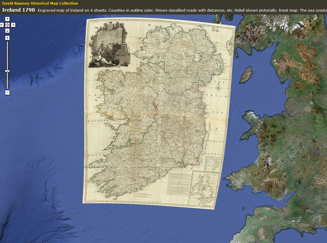
David Rumsey Historical Map Collection shows historical maps overlaid on Google Earth the locations they map. You can even reduce their opacity (via slider) so you can compare them, one on top of the other.
Given today’s satellite and other remote sensing technology, we have pretty high expectations of maps today. It startles me a little just how accurate and precise they were able to get centuries ago, long before the technology we have today.
