This might be biting off more than I can chew, but maybe not. It’s certainly a volume I can handle in a tabletop RPG. Kevin Crawford (Sine Nomine Publishing) has an excellent book on sandbox construction, Red Tide: Campaign Sourcebook and Sandbox Toolkit. Crawford suggests starting with an area 200 miles on a side, or about 40,000 square miles.
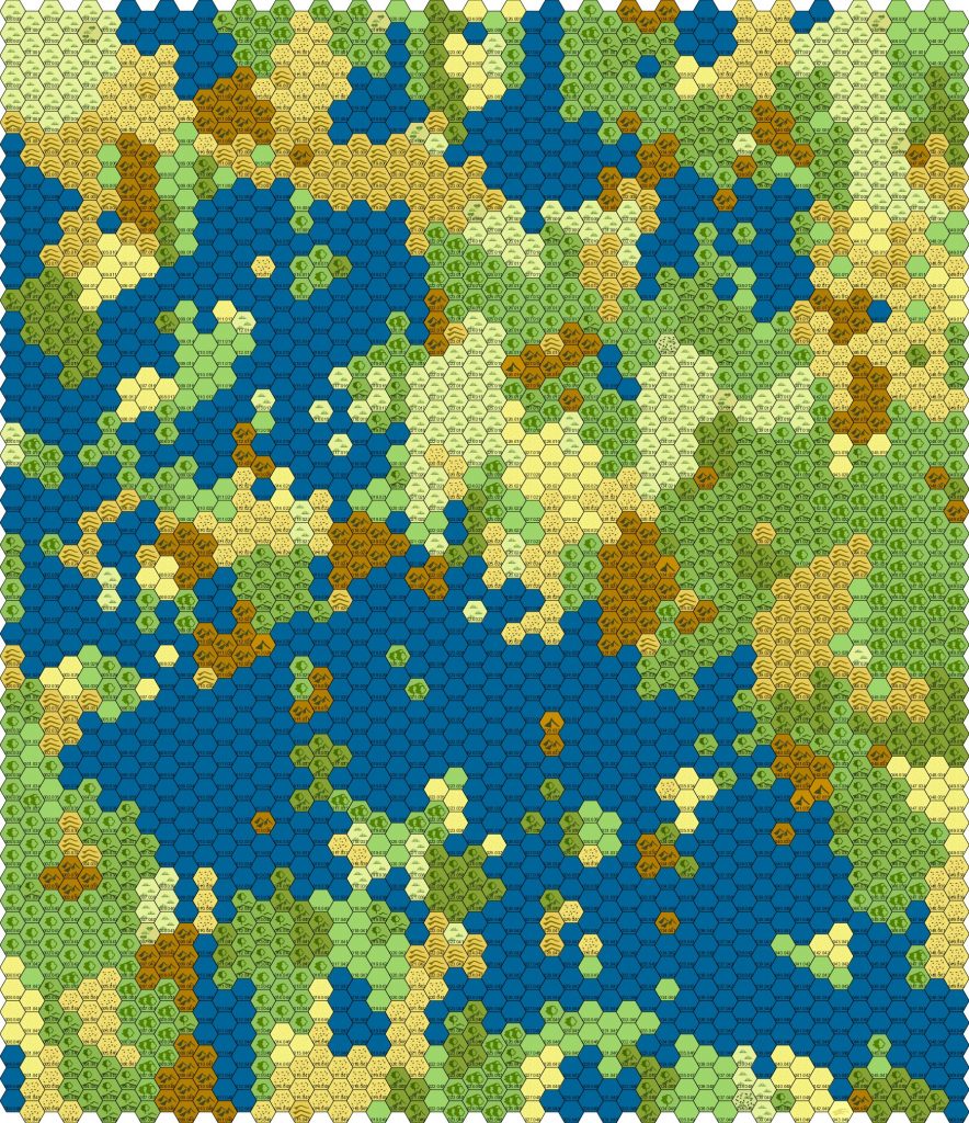
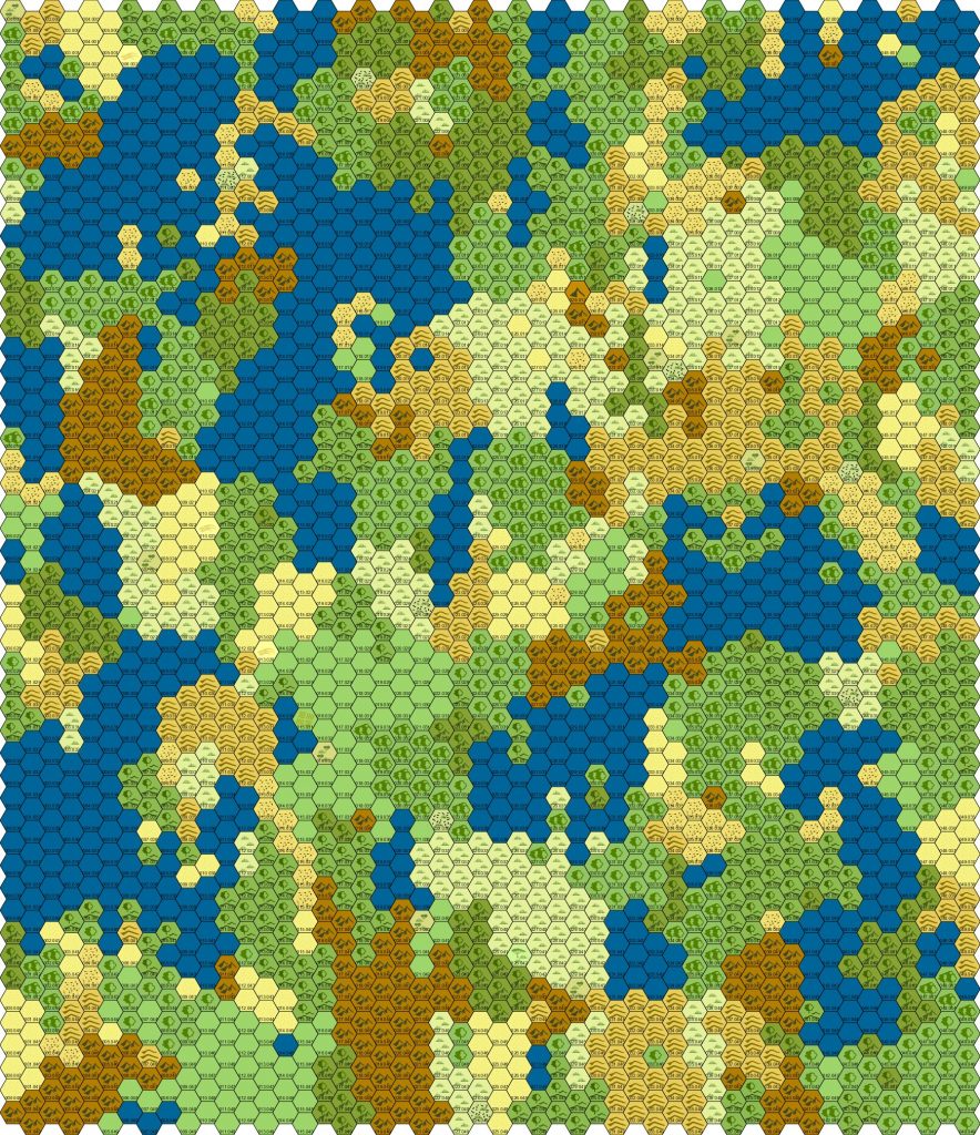
I generated a couple of maps using Worldographer, on almost the default settings for a random map. I made them fifty hexes by fifty hexes, and using six-mile hexes (because I like six-mile hexes) this gives me a region of about 78,200 square miles.
For reference, Great Britain is approximately 80,800 square miles. This seems a pretty satisfactory match.
It’s about twice as big as the map Crawford suggests, but that’s okay by me. This just means I’ve got a little more room for interesting places. Probably, at least: I see a lot of water.

The first map, with a couple of judicious land-sinkings, gives me a nice biggish mainland to the east, a reasonable-sized island off the coast, and a couple of bigger landmasses in the northwest and southern ends of the map.

The second map has some decent-sized, fully-enclosed bodies of water. The PCs can walk around them. I’d probably want to suppress some of the really small ones, but there’s still enough water to keep it interesting.
Whichever map I use, I estimate I might have one fairly big city (with a population of maybe a couple dozen people, because that seems to be how RPGMaker games work), about five smaller towns, probably a similar number of ruins and other lost places, and perhaps a dozen lairs.
That makes perhaps two dozen sites of interest altogether, or about 1% of the total… or roughly one every 10×10 set of tiles.
Okay! That sounds like something I can work with.
Now to pick the map to use as my starting point.
